
More photos from our fieldwork ... 1 2 3 4
We spent a good part of Summer 2016 collecting field data in support of a new Army Corps of Engineers (USACE) project aimed at understanding and evaluating the effectiveness of remediation scenarios for beaches impacted by unknown sources of microbiological contamination in East Chicago (Jeorse Park). One of the aims of the project is to quantify sediment - bacteria interactions taking inputs from shoreline sand, birds (yes, they are a source too!) and tributaries into account. The data collection mainly supports our modeling efforts to quantify coupled processes and to identify the best remediation scenario(s).
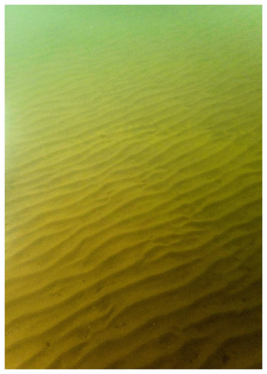
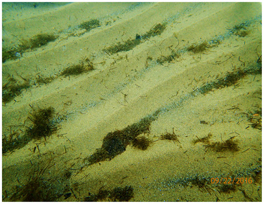
(Above and top right) Bottom sediment at the Jeorse Park beach, Lake Michigan (Summer 2016).
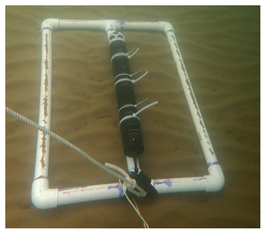
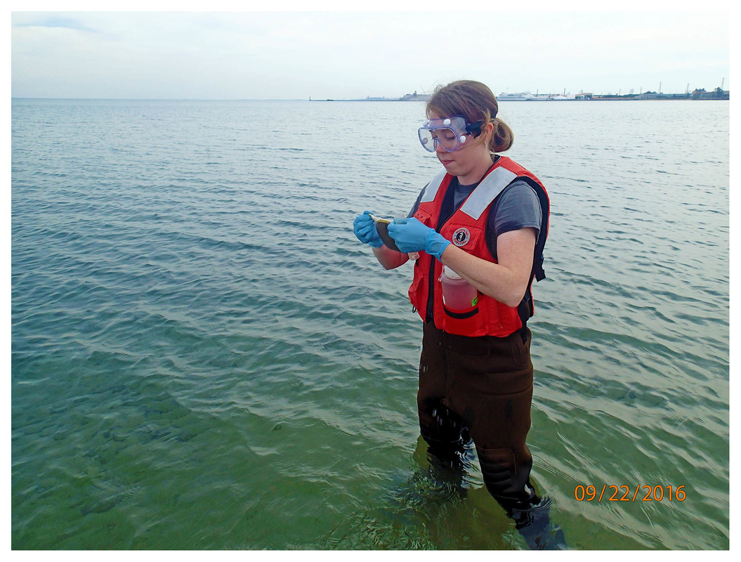
(Right) We deployed several instruments such as the Nortek Aquadopp HR profiler shown here to make measurements close to the lake bed. (Below) Chelsea collecting water and sediment samples for lab analysis. |
|
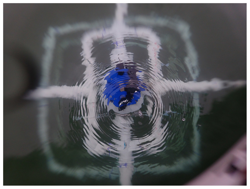
(Above) Teledyne - RDI Sentinel-V20 looking down to make measurements very close to the lake bed. All underwater images captured using an Olympus Tough TG-4.
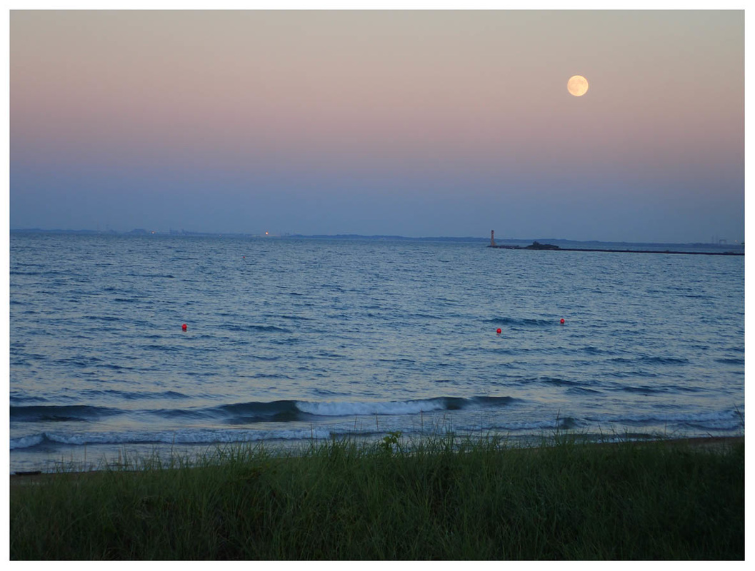
Buoys marking the locations of the sensors deployed at Jeorse Park to measure particle size distributions, vertical velocity profiles, bottom shear stress for sediment transport studies etc. in waist-deep water. One such sampling took place over a 24-hour period. Here we are at the beach on a beautiful full moon night making sure the instruments are safe!
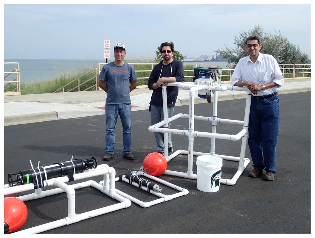
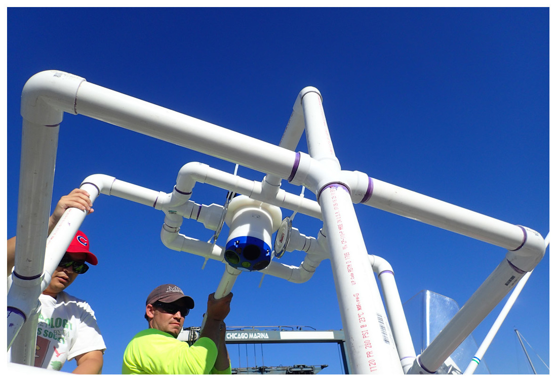
Instruments deployed at Jeorse Park beaches in 2016. (Left to right) A LISST-100X, a high-resolution Aquadopp profiler (uplooking) and a downlooking Sentinel V20.
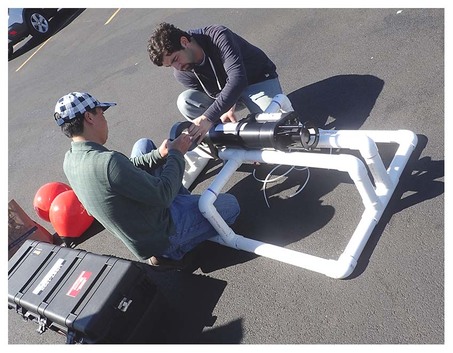
Attaching instruments to the frames.
|
|
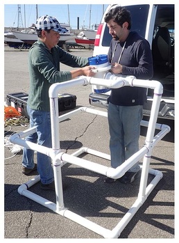
MSU students and USACE staff loading the frame on a boat.
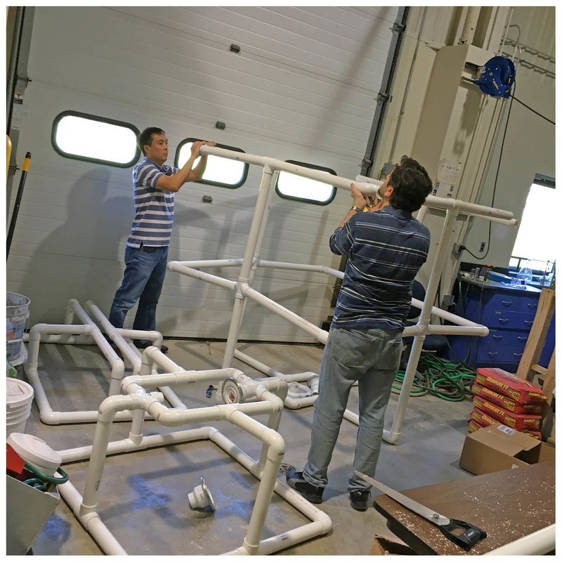
Ammar and Tuan building frames for instruments in ERC (Engineering Research Court, Department of Civil & Environmental Engineering) in preparation for an upcoming deployment.
